Doogan Falls
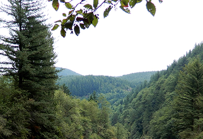
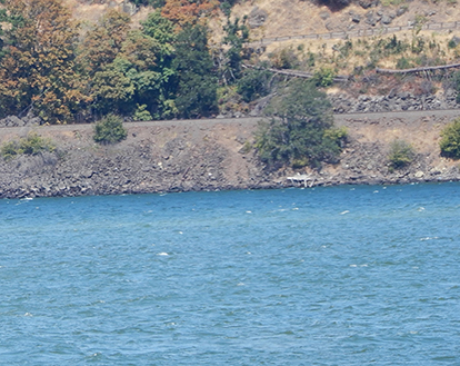
The Columbia River Gorge is a canyon of the Columbia River in the Pacific Northwest of the United States. Up to 4,000 feet deep, the canyon stretches for over eighty miles as the river winds westward through the Cascade Range, forming the boundary between the state of Washington to the north and Oregon to the south.
The gorge is a popular destination for hiking, biking, sightseeing, fishing, and water sports. The area is known for its high concentration of waterfalls, with over 90 on the Oregon side of the gorge alone.

Hood River
When glacial floods carved out most of the Columbia River Gorge at the end of the last Ice Age, they left behind massive, looming cliffs where the river bisects the Cascade mountain range. The size of the canyon and the wildly varying elevations make this small stretch of Oregon as ecologically diverse as any place in the state. 4,000 feet (1,200 m) deep, the canyon stretches for over eighty miles (130 km) as the river winds westward through the Cascade Range, forming the boundary between the state of Washington to the north and Oregon to the south.